The moisture (dewpoints) have also surged, we're in the 65-67 range now which is the highest so far this young spring.
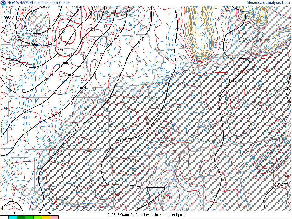
The GREEN is the dewpoints and the RED lines are the temperatures. Pretty juicy out there. Instability is building but since the air aloft is so warm as well, we're capped and won't worry about storms today.
Our developing storm will be taking shape across the plains states tomorrow. It's becoming more and more apparent that the potential of severe storms will be east of KC. There is a small window, between Noon and 3PM that something briefly could develop on top of us, buts the odds favor a bigger, more substantial outbreak farther east towards Columbia/St Louis/Kirksville. The Lakes area/Sedalia/Clinton/Chillicothe are still in the game though. This AM I painted an enhanced chance of severe weather in this boundary and I'll keep that going for tonight's newscast. This area also would have the potential for an isolated tornado. Again as mentioned several days ago, the fast moving storms will be flying @ close to 60+ MPH...so whatever happens will be quick!

The SPC has this area in a SLIGHT (I hate that word) risk.

Notice they've removed the KC area from even the SLIGHT risk of severe weather and I really don't disagree at this point. Should the dry line set up farther west then this will radically change things tomorrow afternoon for the worse.
Cooler weather is likely on Monday then a nice warm-up for TUE/WED followed by another rain chance on THU/FRI, although after tomorrow, the severe weather risk may be gone for the week.
That's about it for today...at this point it looks like we're dodging a bullet for tomorrow. Need to still watch it though.
Joe
No comments:
Post a Comment